Water-Smart Yards Start Below the Surface

Today we dive into soil moisture mapping and irrigation zoning for water-smart yards, translating hidden patterns beneath your feet into practical decisions above ground. You will learn how to measure, visualize, and manage water precisely, saving time, reducing bills, and nurturing healthier plants. Expect field-friendly methods, honest lessons from real yards, and step-by-step guidance that turns scattered readings into a clear plan you can trust, adapt, and proudly share with neighbors seeking resilient, beautiful landscapes.

Reading the Ground: How Moisture Moves

Understanding how water travels through soil is the foundation of every successful decision you will make outdoors. Texture, structure, organic matter, mulch, shade, slope, and roots all influence infiltration, retention, and evaporation. As temperatures swing and winds shift, plant demand rises and falls, amplifying differences between beds. Learning these dynamics transforms guesswork into clarity, fueling accurate measurements, informed maps, and irrigation zones that truly match how your yard behaves through cool mornings, hot afternoons, and stormy nights alike.

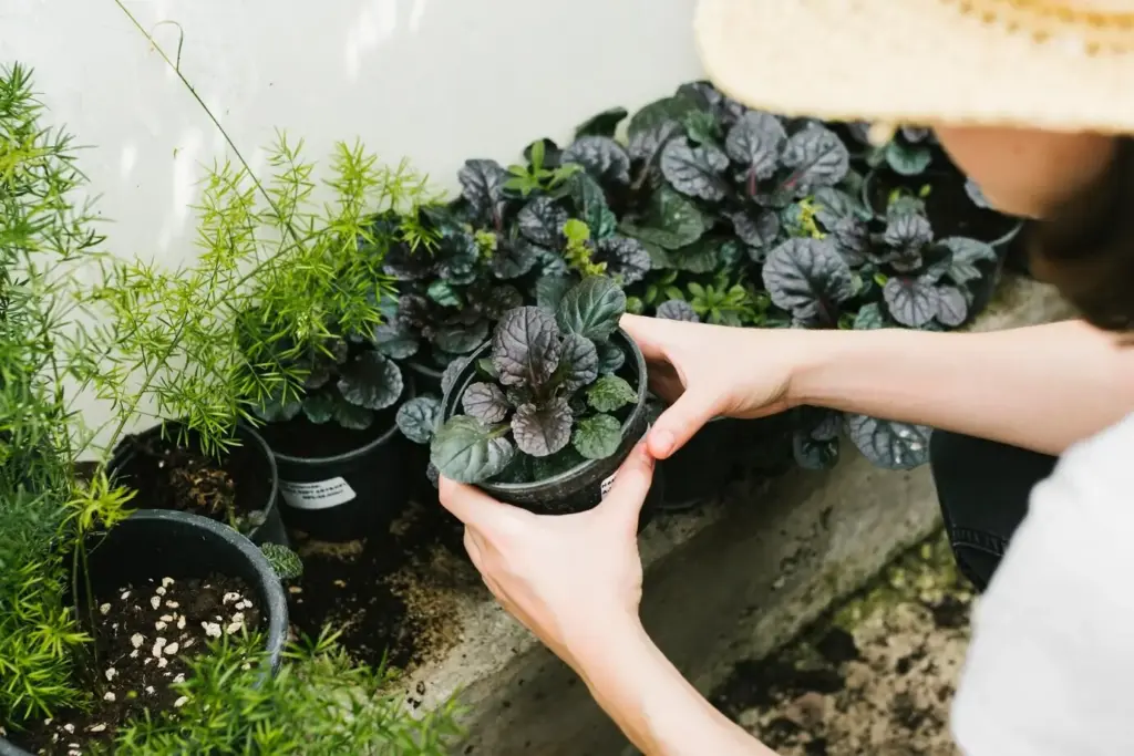
Why Moisture Differs From Bed to Bed

Even within the same yard, moisture can vary drastically because clay holds water tightly, sand drains quickly, and loam balances both. Compaction near pathways resists infiltration, while organic-rich beds act like gentle sponges. Shade slows evaporation; reflective surfaces magnify heat. Slopes drive runoff downslope, pooling water in low spots and starving higher edges. Downspouts, wind corridors, and tree roots further complicate distribution. Recognizing these influences explains uneven growth and guides smarter grouping, scheduling, and investments that respect real, not imagined, conditions.

Choosing Measurement Methods That Fit

Consistency matters more than fancy gear, yet tools do help. Capacitance probes offer quick volumetric readings, TDR devices provide lab-like precision, and tensiometers capture plant-available tension beautifully. A simple hand probe paired with the feel-and-squeeze method remains surprisingly effective when calibrated against a reliable reference. Measure at consistent depths and times, label locations clearly, and log every reading. Choose methods you will actually use weekly, because repeatable data beats perfect data you never collect or trust.

From Single Readings to Reliable Patterns

One reading is a snapshot; a pattern emerges only after repeated observations across weather changes, irrigation cycles, and plant growth spurts. Measure before watering, right after, and again twenty-four hours later to see infiltration and retention. Record at the same depth and time of day. Compare results week to week, noting wind, temperature, and cloud cover. When lines on your chart start stabilizing, you will confidently identify resilient zones, thirsty corners, and beds that thrive with surprisingly little supplemental water.

Drawing the Invisible: Your Moisture Map

Simple Sampling Protocol You Can Trust

Lay out a loose grid with flags or biodegradable paint, spacing points five to ten feet apart depending on bed size. Sample at consistent depths, such as four and eight inches, where most roots actively drink. Collect readings before irrigation to avoid skewed results, then again afterward to understand how water spreads. Label every point clearly, note sun exposure and slope, and keep a clean log. Repeat over two to three weeks, especially through a warm spell, to confirm reliable trends.

Turning Numbers into Clear Visuals

Start with a simple spreadsheet for tidy data entry, then use conditional formatting color scales to reveal patterns instantly. For more detail, import readings into a lightweight mapping app or free GIS software, applying gentle interpolation such as inverse distance weighting. Avoid over-smoothing that hides useful edges between beds. Pick a color ramp that makes dry areas unmistakable and wet zones equally obvious. Always include depths, dates, and legend notes so your map remains transparent, meaningful, and easy to revisit later.

Validate, Iterate, Improve

Take the map outside and ground-truth it. After a rain or irrigation cycle, walk predicted wet areas and check soil by hand for texture and stickiness, verifying capillary behavior. Probe borderline zones where the map suggests change. Observe runoff patterns at the first minutes of watering. Adjust your sampling grid if surprises emerge, adding points along edges. Repeat a small round of measurements after maintenance or mulching, confirming that your updates translate into more balanced moisture profiles and healthier, even growth.

Designing Zones That Water Wisely

Thoughtful zones match plants, sun, soil, and hardware so each area gets exactly what it needs, no more and no less. Grouping by both water demand and microclimate produces steadier growth and eliminates constant manual tweaks. Drip lines can serve shrubs in loam under afternoon shade, while high-efficiency rotary nozzles handle sunny turf on gentle slopes. The moisture map clarifies boundaries, ensuring your valves control truly similar spaces. The result is simpler scheduling, fewer clashes, and meaningful, repeatable water savings.

Schedules That Adapt to Weather and Soil

Build a Defensible Baseline

Calculate precipitation rate using catch-cup tests, then convert plant water needs into runtime per zone. Factor infiltration capacity to decide whether you need cycle-and-soak. Account for root depth and allowable depletion so you maintain resilience without coddling. Document your assumptions next to the map. Run a supervised irrigation event and check uniformity in the field. This baseline anchors future tweaks, ensuring changes are purposeful rather than random reactions to temporary weather or scattered patches of stress.

Let Sensors and Smart Controllers Help

Wireless soil probes provide real-time thresholds that halt watering when reservoirs are adequate, while rain sensors prevent waste during storms. Weather-based controllers adjust automatically to daily evapotranspiration and forecasted highs. Calibrate sensors against your measurements and verify readings after a few cycles. Set conservative minimum and maximum limits so automation never strays far from reality. Combined with your map, this technology reduces guesswork, keeps schedules honest, and frees time for pruning, mulching, and enjoying the landscape you built thoughtfully.

Seasonal Tuning Without Guesswork

As spring warms, increase runtime gradually only where maps show persistent dryness or shallow rooting. During summer peaks, use a slight frequency bump on lighter soils, keeping cycle-and-soak to prevent runoff. In autumn, step back, letting roots chase moisture deeper. Dormant or semi-dormant periods invite careful cutbacks. Keep notes each month, linking changes to plant reactions rather than calendar dates alone. Over a year, your yard teaches you exactly how much water it truly requires to thrive gracefully.

Monthly Field Check Ritual

Walk each zone while it runs. Look for misting that signals high pressure, sputtering that suggests clogs, and puddles that reveal uneven grades. Straighten sunken heads, clear grass from nozzles, and tighten fittings. Use catch cups for quick uniformity snapshots and record changes in a simple log. Small fixes now prevent large problems later. This ritual, paired with your map, keeps reality aligned with your intentions so scheduled minutes deliver meaningful, evenly distributed moisture to every targeted root zone.

Build Water-Holding Capacity Naturally

Incorporate compost to improve aggregation and create pore spaces that store water while letting roots breathe. Maintain two to three inches of organic mulch to slow evaporation, cool soil, and feed beneficial organisms. Break up shallow compaction with gentle aeration around perennials, avoiding root damage. Address hydrophobic patches by watering slowly or applying approved wetting agents responsibly. Over months, these practices subtly reshape your moisture map, making dry zones more resilient and allowing shorter, less frequent irrigation cycles without sacrificing vibrant growth.

People, Stories, and Shared Learning

Behind every successful yard is a curious steward willing to test, observe, and iterate. Sharing charts, photos, and short field notes invites neighbors and family into the process. Children love moisture meters and colored flags, turning science into a playful treasure hunt. Community groups swap tips, lending tools and celebrating water saved. We encourage you to comment, subscribe, and bring questions. Together we turn dry data into living knowledge that spreads, thrives, and transforms entire blocks into welcoming, resilient green corridors.
Beronixaluphulio
Privacy Overview

This website uses cookies so that we can provide you with the best user experience possible. Cookie information is stored in your browser and performs functions such as recognising you when you return to our website and helping our team to understand which sections of the website you find most interesting and useful.