Seasonal Shifts in Garden Microclimates: Update Your Maps with Confidence

Today we explore seasonal shifts in garden microclimates and how to update your maps so they stay useful, honest, and inspiring. As sun angles tilt, winds redirect, soils warm or chill, and canopies leaf out, your yard subtly transforms. We’ll decode those changes into practical steps, add stories from real beds and borders, and invite you to sketch, test, and revise with curiosity. Bring your notebook, your favorite marker, and a sense of wonder—your next harvest begins with a smarter map.

How Light, Wind, and Terrain Rewrite Your Yard Across the Year

Your garden never stands still. Winter’s low sun wakes frost pockets; summer’s high arc opens scorching corners that once seemed sleepy. Wind funnels between fences in March but softens behind leafy hedges in June. Soil warmth lingers beside masonry yet drains fast on exposed slopes. Understanding these shifting forces reveals patterns you can trust, from where basil sulks in April to where peppers glow in August. Read the land like a living calendar, and your next map will finally match reality.

Observation Habits That Turn Hunches into Reliable Data

Good maps grow from patient noticing. A pocket notebook, a date-stamped photo, and a couple of simple measurements will outsmart memory’s optimism. Record frost dates, thaw lines, first blooms, and when the compost steams most. Capture shadow lengths at breakfast, and note where you reach for a sweater in late afternoon. After a month, patterns emerge; after a year, decisions become fearless. Invite family or neighbors to add notes, and you’ll multiply insights while building a shared garden language.

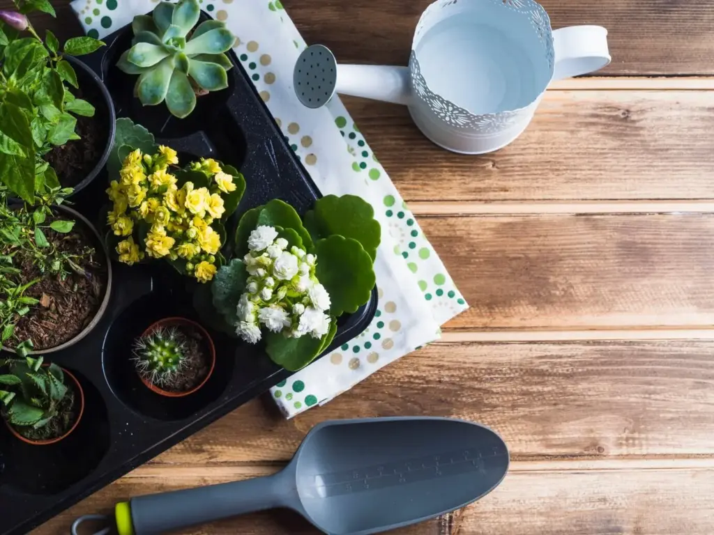
Simple Instruments, Big Insights

A min–max thermometer near suspected frost spots tells truths that guesswork hides. A cheap soil thermometer reveals when beds genuinely hit planting thresholds instead of when the calendar teases. Small data loggers tucked by a stone wall map nightly temperature curves. Even colored flags marking morning shade edges help reveal drift as seasons turn. Pair these tools with quick notes—date, time, weather vibe—and watch your understanding sharpen from fuzzy impressions into dependable, repeatable patterns that confidently guide every bed layout.

Phenology as a Calendar You Can Trust

Let plants and wildlife become your timekeepers. When lilacs open, soil usually warms enough for many crops; when oak leaves reach squirrel-ear size, it often signals safe transplanting for tender starts. First firefly flashes, first swallowtail sighting, or the neighbor’s peony bloom can each anchor decisions better than fixed dates. Write these markers beside temperature observations and shade sketches. Over seasons you’ll build a local calendar natural to your garden’s rhythm, resistant to strange springs and unsettled autumns.

Photo Mapping and Time‑Lapse Diaries

Set a weekly phone reminder to snap photos from the same three spots: north fence, patio corner, and alley gate. Shadows, leaf density, and ground moisture reveal themselves frame by frame. Add quick captions—windy, soggy, brilliant—then drop images onto a simple map or digital album. Time-lapse reveals shade creep, puddling patterns, and where heat visibly shimmers in late afternoon. You’ll notice what once slipped past attention, translating subtle seasonal changes into mapping choices you can trust.

Turning Clues into Cartography

Now transform raw observations into a map that actually predicts outcomes. Start with a clean base drawing to scale, then build seasonal layers: late winter, spring surge, high summer, and cooling fall. Color-code solar exposure, frost risk, wind channels, and moisture tendencies. Add symbols for thermal mass, reflective walls, and portable protection. Treat your legend like a promise to your future self. With this structure, adjustments become easy, experiments stay organized, and your garden plan grows more resilient each month.

Layer Strategy: Seasons as Transparent Sheets

Think like an animator, stacking truths. On a tracing sheet for late winter, outline frost hollows and low-angled sun slivers. On spring’s layer, show runoff paths and wind-pruned corners. High summer gets heat islands and afternoon scorch zones, while autumn highlights dew basins and early dusk shade. Align edges carefully so features line up across seasons. This approach invites revision rather than perfectionism, encouraging frequent small updates that steadily convert scattered clues into a living, navigable garden atlas.

Symbols, Legends, and Consistent Notation

Clarity loves consistency. Pick a small set of symbols—dashed blue for drainage lines, orange dots for heat sinks, soft gray hatching for midsummer shade, and a star for frost traps—and use them everywhere. Write a legend right on the page so future you instantly remembers. Date every revision and initial major changes. Even in digital tools, maintain the same palette and line weights. That way, your map becomes a dependable language instead of a guessing game whenever seasons surprise you.

From Paper to Digital Without Losing Soul

Paper encourages quick sketches; digital preserves layers neatly. Photograph your drawing, import it into a simple mapping app, then trace features on separate layers. Use semi-transparent fills to mimic tracing paper and keep seasonal distinctions obvious. Add geotagged photos, attach weather notes, and export versions before big edits. Resist overcomplication—precision matters less than readability and continuity. Blend tactile speed with digital organization, and you’ll update confidently after every storm, heatwave, or first frost without losing the story your garden tells.

Plant Placement, Protection, and Seasonal Tweaks

Armed with clearer patterns, adjust what grows where and when. Tuck heat lovers by masonry, slide spinach into lengthening spring shade, and stage mobile containers to chase the sun. Build windbreaks that drop turbulence without stealing light. Use cloches, row covers, and cold frames to borrow a few precious degrees. Swap varieties to match new realities you’ve mapped. A flexible arrangement, tuned to seasonal signals, turns setbacks into experiments and salvages harvests when weather improvises beyond normal expectations.

Field Notes and Stories from Real Beds and Borders

Patterns become convincing when backed by lived moments. A gardener moved one tomato two meters toward a south wall and harvested two weeks earlier, year after year. Another mapped a shallow dip where basil repeatedly blackened, then rerouted paths to avoid cold pooling. Share your own discoveries, victories, and close calls. Post a snapshot of your updated map, and tell us what changed. Your story may be the missing puzzle piece for a neighbor’s tricky corner.

Forecasts, Neighbors, and Long‑Range Thinking

Daily weather is only half the conversation; local knowledge and climate trends complete it. Read forecasts with microclimate eyes, translating a predicted low into what it means for your frost pocket. Compare notes with neighbors, swap maps, and join community science projects. Watch decade-scale shifts in first frost dates and heatwaves, and revise plant choices accordingly. By blending data, stories, and careful mapping, you’ll build resilience that carries your garden gracefully through next week’s surprises and the coming years’ new normals.

Reading Forecasts with a Microclimate Lens

A regional forecast says thirty-six degrees, but your low basin may see thirty-two under clear skies. Learn to adjust for wind, cloud cover, and dew point, then check against your own instruments. Track how often models overshoot or undershoot specific spots. Annotate your map with personal correction factors—minus two here, plus one there. This translation layer turns generic predictions into garden-specific guidance, helping you decide when to cover, water, or wait with confidence rather than anxiety.

Joining Local Networks and Map Exchanges

Neighbors are powerful sensors. Swap annotated maps, share frost alerts, and borrow tools like row covers or data loggers. Community gardens often house perfect comparison plots across exposures and soil types. Organize a seasonal mapping walk, gather observations, and publish a shared legend so everyone speaks the same cartographic dialect. Post your updates, ask questions, and invite feedback. Together you’ll refine tactics faster, avoid repeated mistakes, and build a supportive loop that keeps learning active and generous all year.

Planning for the Next Decade, Not Just Next Week

Microclimates evolve with pruning, new hardscape, maturing trees, and shifting climate baselines. As winters soften or storms intensify, reassess windbreaks, drainage, and plant palettes. Choose varieties that tolerate swings, and design maps that anticipate canopy growth and future shade lines. Add a yearly review page to your atlas, celebrating wins and naming stubborn puzzles to test next season. Thoughtful adaptation, documented clearly, keeps your garden nimble—ready for tomorrow’s surprises and aligned with the long arc of change.
Beronixaluphulio
Privacy Overview

This website uses cookies so that we can provide you with the best user experience possible. Cookie information is stored in your browser and performs functions such as recognising you when you return to our website and helping our team to understand which sections of the website you find most interesting and useful.